Of course, there's a little story about how we stumbled upon such a majestic view...
Our road map showed a "shortcut" from Foster Lake, Oregon to near Detroit Lake, Oregon.
You'll really need to look at the look at the map to see where this shortcut goes. (Then you'll know this was stupid before we got on the road.)
We pointed the car in that direction and drove uphill on the one-lane mountain road.
Each hairpin turn was followed by a steep incline as we climbed from about 800 feet above sea level to an elevation of about 4000 feet.
Yes. We climbed 3200 vertical feet in about 10 miles.
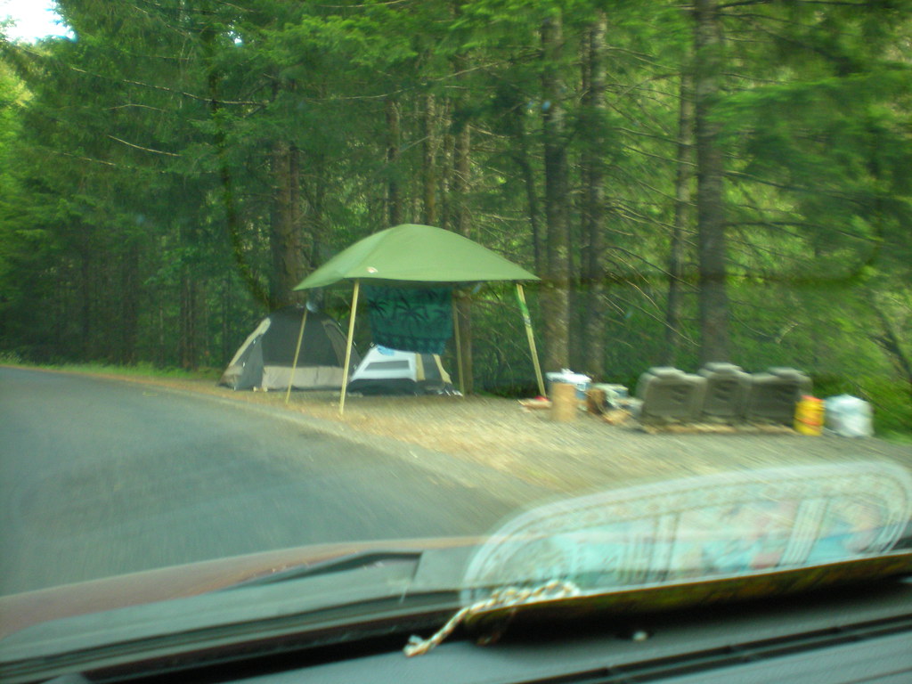
Although we didn't see any other traffic on the road, there was an occasional campsite with a tent at the side of the road.
The road follows Quartzville creek most of the way, so there were steep mountains rising up from the driver's side of the car and steep forested drop offs (no guard rails) on the passenger side. We either stayed to the middle of the road or hugged the mountain as we ascended.
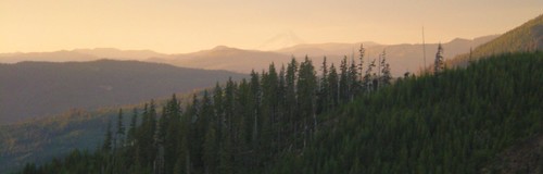
After about a half hour of driving up and up and up... and starting to get bored and just a little worried that this was maybe not such a smart idea... we rounded a sharp curve and were rewarded with this stunning view.
At 4000 feet above sea level.
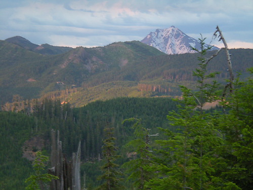
Maybe our worries weren't too out of line; this is a view of Mt. Jefferson... with MT. COFFIN somewhere in the foreground.
(Hmmm... I wonder how Mt. Coffin got its name?)

No comments:
Post a Comment